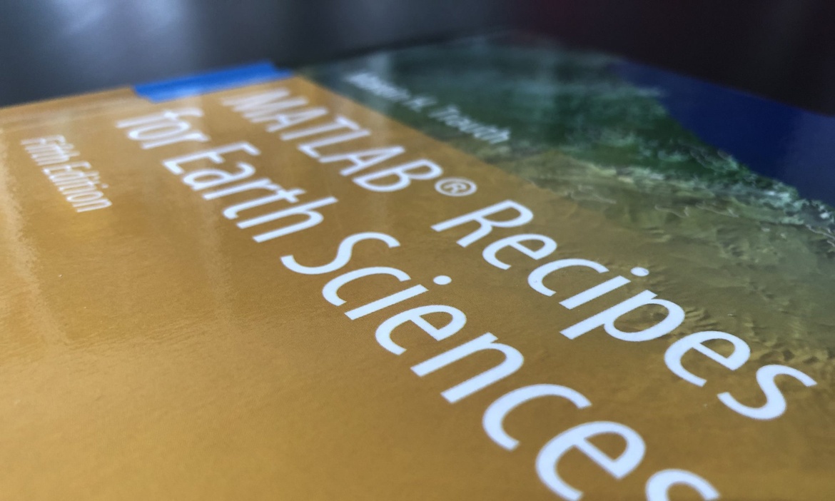
59th Shortcourse on MATLAB and Python Recipes for Earth Sciences
The course introduces methods of data analysis in earth and environmental sciences using the MATLAB and Python software, the leading software packages for the solution of mathematical problems. The content of the course includes basic statistics for univariate, bivariate and multivariate datasets, time-series analysis and signal processing, processing and displaying digital elevation models, gridding and contouring, and image processing and analysis.
The course is being taught as an interactive on-line seminar with lectures, demonstrations and exercises on selected examples from the earth and environmental sciences.
We use a modern web conferencing system for the lectures, demonstrations and exercises, in connection with a course management system for the course materials including recorded lectures, coding sessions and exercises. The participants are expected to use their personal computers running Windows, Linux, or Mac OS X. A temporary license of MATLAB will be provided by the organizers. We will use the free Anaconda distribution with Spyder and Python.
